
Herbarium of Trenton guides
- Folder
- Rivers & Parks
- Sheet
- No. 05 of 12
- Read
- 4 min
Collector’s notes
- The non-tidal Delaware flows 197 miles from New York to Trenton; the tidal river runs 133 miles from Trenton to the bay.
- The tidal change at Trenton is about ten feet, compared with about six feet in Delaware Bay.
- The highest peak recorded at the Trenton gauge was 329,000 cubic feet per second on August 20, 1955.
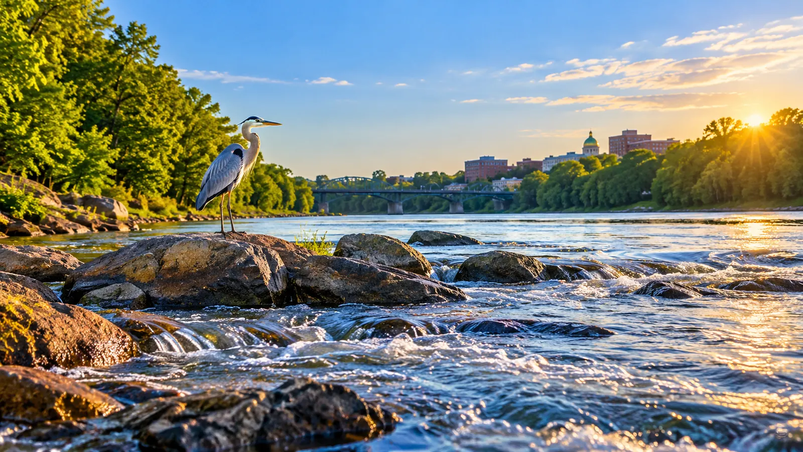
Trenton was built where the Delaware River changes character. Upstream, the river is a free-flowing mountain and valley river; downstream, it rises and falls with the ocean tide. The falls at Trenton mark the line, and that line has shaped the city’s history, its water supply and its flood risk.
A long river with no dams on its main stem
The Delaware River Basin Commission, the interstate agency that manages the river, describes the Delaware as the longest undammed river east of the Mississippi. It flows 330 miles in all. Its headwaters, the East Branch and West Branch, meet at Hancock, New York, and the river reaches the Atlantic where Delaware Bay meets the ocean between Cape May, New Jersey, and Lewes, Delaware. It is an interstate river its entire length, so from either bank you look across at another state.
| Fact | Figure | Source |
|---|---|---|
| Total length | 330 miles | Delaware River Basin Commission |
| Non-tidal river, New York to Trenton | about 197 miles | Delaware River Basin Commission |
| Tidal river, Trenton to the bay | about 133 miles | Delaware River Basin Commission |
| Tidal change at Trenton | about 10 feet | Delaware River Basin Commission |
| Drainage area above the Trenton gauge | 6,780 square miles | U.S. Geological Survey |
Trenton is where the tide begins
The commission divides the river at Trenton. The non-tidal Delaware runs about 197 miles from New York south to Trenton, and much of it is protected: it is part of the commission’s Special Protection Waters program, and 75 percent of it is in the National Wild and Scenic Rivers System. Below Trenton, the tidal river runs about 133 miles to Delaware Bay and is also known as the Delaware River Estuary, where fresh water mixes with salt water.
The tide is surprisingly strong this far inland. According to the commission, the tidal change is about six feet in Delaware Bay but about ten feet at Trenton. The water here is still mostly fresh; salinity grades from salt water in the bay to brackish water at Wilmington and mostly fresh water at Philadelphia and Trenton. The City of Trenton’s stormwater plan adds that the river is tidal up to the Falls of the Delaware, south of the Route 1 bridge.
Measuring the river at Trenton
The U.S. Geological Survey has measured the river at its Delaware River at Trenton station for more than a century; its daily records begin in 1912. The station drains 6,780 square miles of New York, Pennsylvania and New Jersey, which is why a heavy rain in the Catskills or the Poconos can raise the river in Trenton days later.
The biggest floods on record
The USGS annual peak record for the Trenton station lists these as the largest flows:
- August 20, 1955: 329,000 cubic feet per second, at a gage height of 28.60 feet
- October 11, 1903: 295,000 cubic feet per second, 28.50 feet
- April 4, 2005: 242,000 cubic feet per second, 25.33 feet
- June 29, 2006: 237,000 cubic feet per second, 25.09 feet
- March 19, 1936: 227,000 cubic feet per second, 24.43 feet
Two of the five largest peaks came in this century, only a year apart, in 2005 and 2006. The City’s stormwater plan notes that Trenton’s 100-year floodplain includes portions of the Glen Afton and Island neighborhoods, a residential area south of Ferry Street in South Trenton, the Route 29 corridor and the Route 1 interchange area. Flood preparation is covered in Assunpink Creek and Flooding in Trenton: The Creek’s Record Peaks and How to Prepare.
Trenton drinks the Delaware
The river is also the city’s water supply. Trenton Water Works says it takes water from the Delaware River and treats it at its filtration plant: the water is aerated to release volatile gases, coagulants clump small particles that settle out, filters of gravel, sand or granular activated carbon remove more particles and bacteria, and disinfection kills remaining microbes. Because surface water is more vulnerable to pollution than groundwater, the utility explains, it needs a more complex treatment process. How lead enters tap water after it leaves the plant is a separate issue, covered in Lead in Trenton’s Drinking Water: Service Lines, the Free Replacement Program and Safer Tap Habits.
From polluted to River of the Year
The commission calls the river’s recovery one of the world’s top water quality success stories. The Delaware was badly polluted from the late 1800s to the mid-1900s. Today it supports migratory fish such as American shad and the endangered Atlantic sturgeon, the upper river is a world-class trout fishery, and bald eagles live or overwinter along its length. American Rivers named it River of the Year in 2020, and Pennsylvania named it its River of the Year for 2025.
Tip: Before boating or wading near Trenton, remember the falls and the ten-foot tide. Water levels change through the day, and conditions at the falls are very different from the calm pools upstream.
Getting to know the river
The best places to meet the river in Trenton are its parks and the canal path that runs beside it, described in Trenton’s Parks and Green Spaces: Cadwalader Park, the Canal and Places to Get Outside. The City and the New Jersey Department of Environmental Protection host a youth fishing derby at Stacy Pond beside the river each year, and volunteer cleanups along the banks are covered in River Cleanups and Green Volunteering in Trenton: Where to Start and How to Do It Safely.