
Herbarium of Trenton guides
- Folder
- Rivers & Parks
- Sheet
- No. 06 of 12
- Read
- 4 min
Collector’s notes
- Assunpink Creek drains 90.6 square miles above the USGS gauge in Trenton.
- Its highest recorded peak was 5,820 cubic feet per second on August 28, 2011.
- Flood insurance usually takes 30 days to take effect, the City warns.
Assunpink Creek is easy to miss in downtown Trenton. Much of it runs in a channel, and part of it is buried in a culvert beneath the interchange of Routes 1, 33 and 129. But it is one of the city’s three main waterways, and when it floods, it floods neighborhoods, roads and rail lines in the middle of the capital.
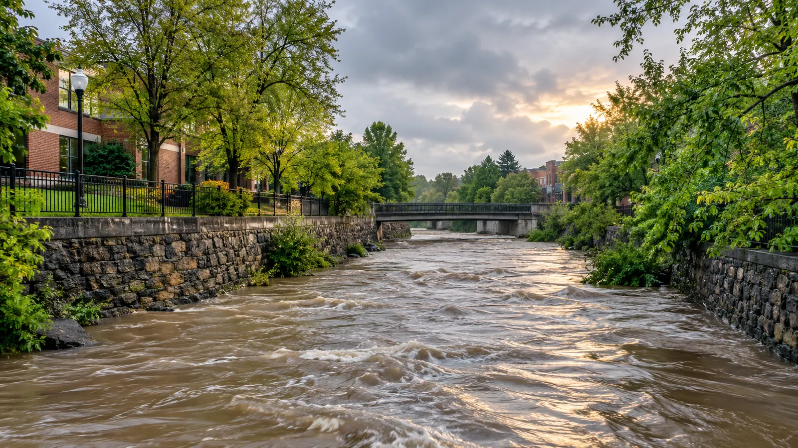
A creek through the middle of the city
The City of Trenton’s Stormwater Management Plan describes Assunpink Creek as the third major surface water resource in Trenton, after the Delaware River and the Delaware and Raritan Canal. Upstream, several dams on the creek create lakes, including Assunpink Lake and Mercer Lake. In the city, the creek is channelized for much of its length, and a culverted section between Broad and Warren Streets has been the subject of an Army Corps of Engineers project to daylight it, exposing the stream and restoring it to natural channel conditions.
The U.S. Geological Survey has measured the creek at its Assunpink Creek at Trenton station since 1923. The gauge drains 90.6 square miles, a fraction of the Delaware’s 6,780 square miles at Trenton, which is exactly why the creek rises fast: a heavy local storm can fill it in hours.
The creek’s biggest floods
| Date | Peak flow (cubic feet per second) | Gage height (feet) |
|---|---|---|
| August 28, 2011 | 5,820 | 15.12 |
| July 21, 1975 | 5,450 | 14.61 |
| September 17, 1999 | 4,510 | 14.01 |
| September 2, 2021 | 4,260 | 12.59 |
| April 16, 2007 | 4,050 | 13.28 |
| August 28, 1971 | 3,920 | 13.46 |
The USGS annual peak record shows that several of the creek’s largest floods came in late summer and early fall, the season of tropical storms. The City’s flood facts page lists the same hazard among New Jersey’s flood causes, along with ice or debris jams, snowmelt combined with rain in winter and early spring, and severe thunderstorms in spring and summer.
Why Trenton floods the way it does
The stormwater plan explains that Trenton sits at the confluence of Assunpink Creek and the Delaware River, and that this combination reduces the ability of stormwater to leave the drainage basin, causing backwater effects and a stacking of floodwaters within city limits. When the Delaware is high, the creek has nowhere to go. Nearly 20 percent of Trenton lies within the 100-year or 500-year floodplain, and the plan estimates that about half of the city’s transportation, communications and utility infrastructure areas are affected by floodplain issues.
Development made it worse. As paved surfaces spread in and around Trenton, the plan says, stream peaks and volumes increased, causing bank erosion and unstable areas at road crossings. The everyday side of that problem is in Storm Drains and Stormwater in Trenton: Where Rain Goes and What Should Never Follow It.
Before a flood
The City’s Flood Watch Information Center gives specific advice. The ones that take time should be done well before storm season:
- Buy flood insurance early. Homeowner’s insurance does not cover flood damage, and a policy normally takes 30 days to go into effect. Policies are available through the National Flood Insurance Program, administered by FEMA.
- Know your flood risk. The City’s message is that everyone lives in a flood zone; ask your local or county Office of Emergency Management if you are unsure.
- Build an emergency supply kit for up to three days and a family plan with a meeting place and an out-of-state contact.
- Photograph or video your possessions for insurance claims, and keep documents above flood level.
- Have a licensed electrician raise switches, sockets, breakers and wiring at least 12 inches above the projected flood elevation.
- Install backflow valves or plugs on drains and toilets, and anchor fuel tanks.
The City also reminds residents that if it has been raining hard for several hours, or steadily for several days, it is time to be alert to the possibility of a flood. Flash floods, its flood facts page warns, can come with little or no warning and can begin within the first hours of a storm.
After a flood
Return home only after authorities say it is safe. The City’s after-flood checklist covers the dangers people underestimate:
- Stay away from downed or sagging power lines and report them.
- Check for structural damage before entering, and watch for snakes and other animals.
- Open windows and doors to dry the house, and do not use matches or lighters in case gas is trapped inside.
- Keep the power off until an electrician has inspected the home.
- If you smell gas or hear hissing, open a window, leave and call the gas company from elsewhere.
- Throw away any food that touched floodwater, even canned goods.
Tip: Flood cleanup can uncover old paint and plumbing. In homes built before 1978, scraping or sanding damaged surfaces can release lead dust; see Lead Paint and Children in New Jersey: Testing, Trenton’s Lead Program and the Rental Inspection Rule before you start.
The creek as a park
The same plan points to an Assunpink Creek Greenway Park as one of two major projects that could add open space for current and future residents, alongside waterfront redevelopment. Turning flood-prone land into parkland is one of the oldest ways cities live with their rivers. Trenton’s existing parks are in Trenton’s Parks and Green Spaces: Cadwalader Park, the Canal and Places to Get Outside.